
Tsunami Travel Time
Tags | |
UUID | ad60797d-95ed-11ef-98f1-bc764e203090 |
The Tsunami Travel Time calculator computes the time a tsunami travels between to points on the globe in a great circle arc at an average velocity.
INSTRUCTIONS: Enter the following:
- (Lat 1) Starting latitude
- (Lon 1) Stating Longitude
- (Lat 2) Ending Latitude
- (Lon 2) Ending Longitude
- (V) Average Speed
Tsunami Travel Time (t): The calculator returns the time required to travel between the points in days, hours and minutes (dd:hh:mm). The results include the distance traveled in kilometers, miles (statute) and nautical miles.
The Math / Science
The calculator uses the Haversine equation to compute the distance between two points (x and y) on the Earth. It then uses a mean velocity (speed) to calculate the time necessary to travel between the two points on the globe.
The time of travel is calculated by dividing the distance traveled by the average velocity. This formula allows the user to enter two points on the globe in latitude and longitude, and a speed. This formula uses the Haversine formula to approximate the distance between the two points. The Haversine formula is based on a spherical earth model employing the Earths mean radius.
This formula will provide a fairly accurate estimate on the amount of time it would take a tsunami to travel between two points. The velocity of a tsunami is reported to be 500 miles per hours when in deep water (See U.S. Gov Report).
Tsunamis travel incredibly fast across open oceans, reaching speeds of up to 500-600 miles per hour (800-970 kilometers per hour)—comparable to the speed of a jet plane. The speed of a tsunami is primarily determined by the depth of the water it’s traveling through. In deeper water, tsunamis move faster, while in shallower water near coastlines, they slow down significantly, typically to around 20-30 miles per hour (30-50 kilometers per hour).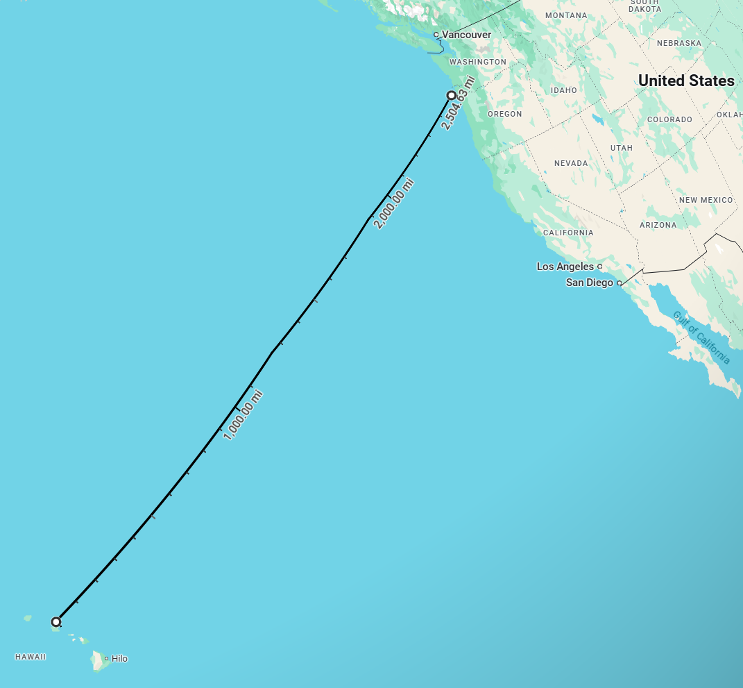
Key Points:
- Deep Ocean: Up to 500-600 mph (800-970 km/h)
- Shallow Water (Near Coast): Slows down to 20-30 mph (30-50 km/h)
When a tsunami reaches shallow waters near a coastline, it slows down, but its height increases dramatically, creating a powerful and often destructive wave as it approaches land.
Example:
If there was a large quake in the Cascadia Subduction Zone off of Oregon near Garibaldi (Lat/Lon: 45.58583°,-124.23272°), the tsunami could travel to Hawaii (Lat/Lon: 21.31959°, -157.74323°) at 600 miles per hour. Using this calculator, the results are as follows:
(t) Tsunami Time to Travel Distance = 4064.8(km) 2525.7(miles) 2194.8(nautical miles): 4 h 13 min

Navigation Calculators:
- Haversine Distance (decimal degrees): Compute the Distance Between two Points on the Earth (Great Circle Arc)
- Haversine Distance (Degrees, Minutes and Seconds): Compute the Distance Between two Points on a Sphere (Great Circle Arc) using degrees, minutes and seconds verses decimal degrees.
- Rhumb Line Azimuth: Computes the azimuth heading one can navigate for a path that crosses all meridians of longitude at a constant angle.
- Rhumb Line Distance: Computes the distance traveled between two points on the globe if traveled via a rhumb line.
- Travel Time between Coordinates: Compute the time to travel between two location (latitudes and longitudes) based on a average speed.
- Navigation Speed: Computes the required average speed needed to go between coordinates on a great circle arc within a given amount of time.
- Distance to Sea Level Horizon: Computes the distance to the sea horizon at an altitude
- Correction Angle: navigation equation that compensates for air or water currents.
- Distance to Sea Level Horizon: Compute the distance to the horizon based on a height above the orb using a spherical Earth model.
- Decimal Degrees: Compute decimal degree angles from degrees, minutes and seconds,[CLICK HERE].
Great Circle Calculators
- Compute decimal degree angles from degrees, minutes and seconds,CLICK HERE.
- Compute the time to travel between two latitudes and longitudes
- Compute the Distance Between two Points on a Sphere (Great Circle Arc)
- Compute the Great Circle Arc Central Angle
- Great Circle Arc Angle (Vincenty's)
Flight and Navigation Calculators
- Correction Angle: Computes the navigation angle/azimuth correction angle using the wind speed, wind direction, flight heading and an Air Speed.
- Ground Speed: Computes the ground speed based on the wind speed, wind direction, a Flight Heading and an Air Speed.
- Haversine - Distance: Computes the distance between two points on a spherical model of the Earth along a great circle arc. This also includes the rhumb line distance and azimuth for the rhumb line.
- Travel Time between Coordinates: Computes the time to travel between to points on the globe in a great circle arc at an average velocity.
- Distance to Sea Level Horizon at Altitude: Computes the distance to the horizon from a specified height using a spherical model the mean spherical radius of the Earth
- Force of Drag: Calculates the resisting force of drag on an object flowing through a medium (e.g. air).
- Force of Lift: Computes the lifting force on the surface area of a wing based on the wing surface area, air flow velocity, density of air and a lift coefficient.
- Lift Coefficient: Compute the lift coefficient of a wing based on lift force, wing surface area, wind speed and density of air.
- Velocity Needed for Takeoff: Computes the velocity required to create more lift than the weight of an aircraft or watercraft using a wing (e.g. hydrofoil).
- Glide Ratio: Computes the glide ratio based on the change in forward distance and the change in altitude.
- Wing Surface Area: Computes the wing surface area required to achieve lift, base on a lift coefficient, lift force, wind speed and density of air.
- Velocity of Air over the Wing: Computes the velocity required to achieve a lift, based on lift coefficient, lift force, wing surface area and density of air.
- Air Speed from Pressures: It uses the Bernoulli Equation to estimate air speed based on the total Pressure measured by a pilot tube, total Static local atmospheric pressure and the Density of Air.
- Center of Mass: Computes the vehicle center of mass between two loads (masses).
Equations and Data Items
- Comments
- Attachments
- Stats
No comments |