
Polar Coordinate Functions
Tags | |
UUID | c4c9aca4-660e-11ef-98f1-bc764e203090 |
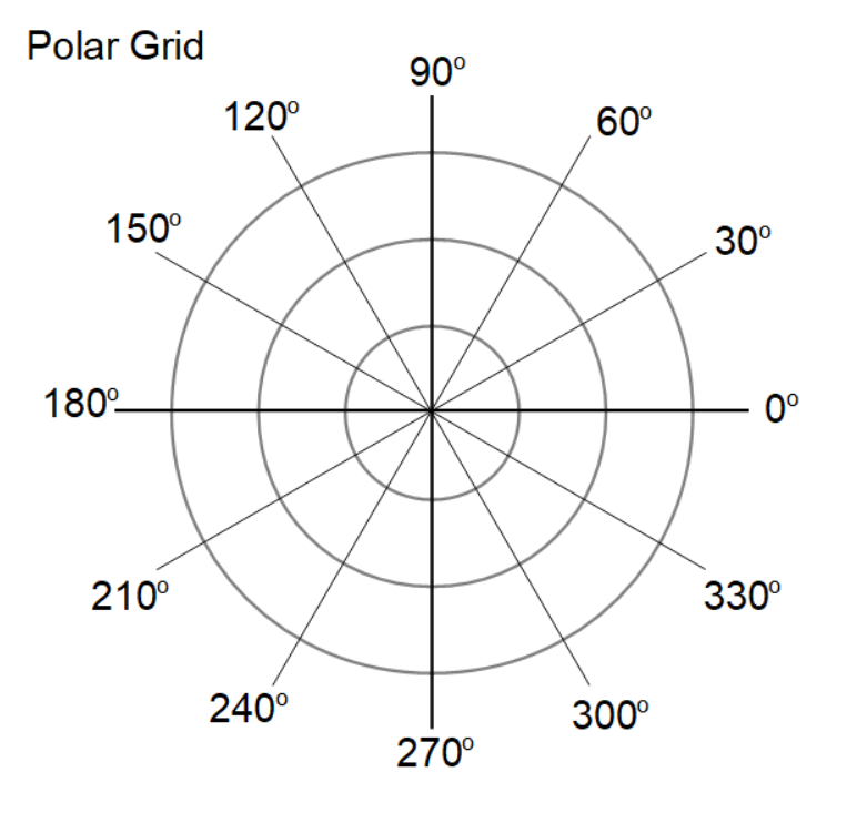
Polar coordinates are a two-dimensional coordinate system in which a point in the plane is determined by its distance from a reference point and the angle relative to a reference direction.
 Here’s how polar coordinates work:
- Reference Point (Pole): The fixed point in the system is called the pole, typically represented as the origin (0, 0) in Cartesian coordinates.
- Radial Distance (r): The distance from the pole to the point in question. It is always a non-negative value (r ≥ 0).
- Angle (θ): The angle measured counterclockwise from the positive x-axis to the line connecting the point to the pole. The angle can be in degrees or radians and can be positive (counterclockwise direction) or negative (clockwise direction).

In polar coordinates, a point is represented as (r,θ), where:
- r is the radial distance.
- θ is the angle.
Polar Coordinate Calculators
- (x,y) to (r, θ) - Cartesian to Polar
- (r, θ) to (x,y) - Polar to Cartesian
This Wikiclip is used in the following pages:
- Comments
- Attachments
No comments |
This site uses cookies to give you the best, most relevant experience. By continuing to browse the site you are agreeing to our use of cookies.